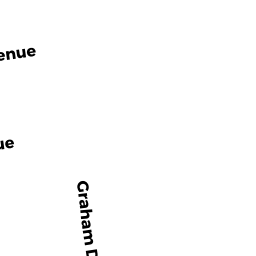
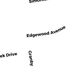
0 REAR GRAHAM DR
Owner Information
RUSS ALEXANDRA
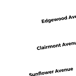
143 CLAIRMONT AVE
CHICOPEE, MA 01013 3688


Property Details
0 REAR GRAHAM DR is classified as a Undevelopable Residential Land (Vacant land).
0 REAR GRAHAM DR is valued at $4,400. The land is valued at $4,400 and the structures are valued at $0.
This property is in Zone 0. Confirm with local Zoning Board authorities to ensure there are no overlays or other easements on this property.
The most recent deed for 0 REAR GRAHAM DR is recorded at the local registrar in Book 22604, Page 159. 0 REAR GRAHAM DR was last sold on Friday, March 29, 2019 for $182,000.
Assessment data from fiscal year 2022.
Flood Data
According to the FEMA National Flood Hazard Layer, this property does not appear to be in a flood zone. It may also be in an area not yet reviewed. Nonetheless, confirm this information prior to taking any action.
To view the flood hazards around this property, create a FEMA "Firmette" Map of the area around 0 REAR GRAHAM DR.
Broadband Internet Providers
| Provider | Type | Bandwidth (mbps) | |
|---|---|---|---|
| VSAT Systems, LLC. | Satellite | 2 | 1 |
| GCI Communication Corp. | Satellite | 0 | 0 |
| T-Mobile | Fixed Wireless | 25 | 3 |
| Charter Communications Inc | Cable | 940 | 35 |
| Verizon New England Inc. | DSL | 10 | 1 |
| Viasat Inc | Satellite | 100 | 3 |
| HughesNet | Satellite | 25 | 3 |
Broadband service provider data from December 2020.
Adjacent Properties
- 135 CLAIRMONT AVE
Single Family Residential owned by ADAMS THEOPHILUS E III ET ALS - 17 GRAHAM DR
Single Family Residential owned by CRAWFORD KALA CORLEY & - 0 GRANBY RD
Vacant, Utility Authority owned by CITY OF CHICOPEE MUNICIPAL - 0 GRAHAM DR
Undevelopable Residential Land owned by SLOWIK MATTHEW - 143 CLAIRMONT AVE
Single Family Residential owned by RUSS ALEXANDRA - 151 CLAIRMONT AVE
Single Family Residential owned by KRSTYEN ROBERT J & HEIDI M - 0 GRANBY RD
Vacant, Utility Authority owned by CITY OF CHICOPEE MUNICIPAL